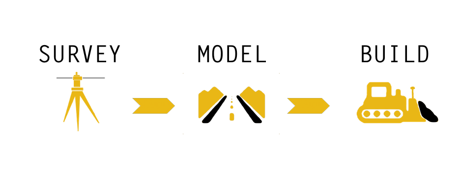
3D site/road modeling
Next stage in earthworks contracting is to introduce machine control into contractors fleet. These may include 2D and 3D systems. 3D machine control systems may include 3D GPS systems or 3D total station systems. With a 3D systems you need to prepare your digital data to suite your machine control system.
This is where ProSite Consulting Ltd. come into a play. For every project we would require plan files (in PDF, AutoCAD and/or Microstation format) and Survey Control Information.
We provide finished design 3D model in variety of formats:
- SVD, SVL (Trimble machine control)
- DXF, DWG (AutoCAD)
- Land XML (CAD exchange)
- Other formats also awailable upon request
data processing
Whether it is a new project or existing we will process your data. We will prepare you data for new project or we will process your exiting data during and after the project.
take-offs
Precise earthwork take-offs are essential part of bidding process. With the new CAD technologies the margin is getting thinner and thinner. ProSite Consulting Ltd. will help you more accurately estimate your earthwork quantities to help your estimators get a better price. We utilize our software knowledge with your specifications to deliver you accurate information on time.
- Earthwork reports with cut/fill volumes
- Detailed site reports for specific regions
- Site improvements (concrete, asphalt, gravel, clay etc.)
- Color coded cut/fill maps

