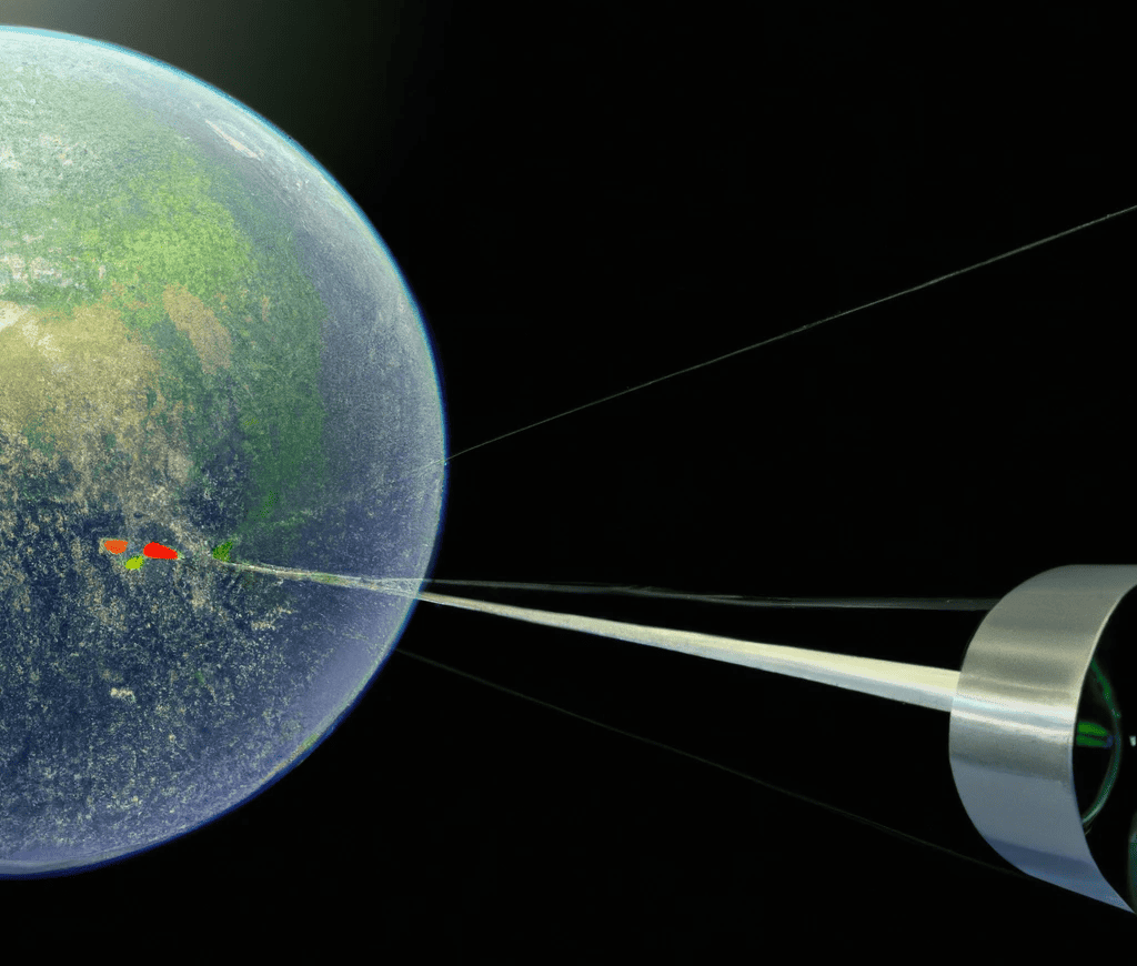
Satellites have become an integral part of our lives, aiding in precise location determination through Global Navigation Satellite Systems (GNSS) formally known as GPS (North American System). These systems rely on a network of satellites that transmit signals to GNSS receivers, enabling them to calculate the user’s exact position. A crucial aspect of any GNSS system is the frequency at which the satellites transmit their signals.
Understanding GNSS Satellite Frequencies
Various GNSS systems operate worldwide, each utilizing distinct frequencies for transmitting navigation and timing information. Let’s explore the primary GNSS satellite frequencies for some well-known systems:
- GPS (United States):
The Global Positioning System (GPS), operated by the United States government, employs multiple frequencies for signal transmission. Here’s a breakdown of the GPS frequencies:
- L1 Frequency: 1575.42 MHz is the primary frequency utilized by GPS for navigation and timing. It transmits the C/A (Coarse/Acquisition) and P(Y) code signals. The C/A code is available to all GPS users, while the P(Y) code is exclusively accessible to authorized users and encrypted for military purposes.
- L2 Frequency: 1227.60 MHz transmits the encrypted P(Y) code signal (restricted to authorized users) and the L2C signal, a civil signal accessible to all users. L2C is more precise than the C/A code and L1 frequency.
- L5 Frequency: 1176.45 MHz transmits the L5 signal, a civil signal accessible to all users. This signal caters to high-precision navigation and timing applications while being more resistant to interference and multipath issues.
GPS also employs L3, L4, and L6 frequencies for non-navigation and timing purposes such as military applications and the Nuclear Detonation Detection System (NDS). Notably, GPS satellites transmit signals simultaneously on multiple frequencies, allowing receivers to leverage the best signal available for improved performance. Among the GPS frequencies, L1 sees the most widespread usage, serving navigation and timing as well as synchronization of cellular networks and other communication systems.
- GLONASS (Russia):
The Global Navigation Satellite System (GLONASS), operated by the Russian government, relies on various frequencies for transmitting navigation and timing information. Here’s a detailed breakdown of GLONASS frequencies:
- L1 Frequency: 1602 MHz serves as the primary frequency for GLONASS, enabling navigation and timing. The L1 frequency transmits the C/A (Coarse/Acquisition) and P(Y) code signals. The C/A code is available to all GLONASS users, while the P(Y) code is encrypted and reserved for authorized users.
- L2 Frequency: 1246 MHz carries the encrypted P(Y) code signal (limited to authorized users) and the L2C signal, a civil signal accessible to all users. L2C provides greater precision compared to the C/A code and L1 frequency.
GLONASS satellites also transmit signals simultaneously on multiple frequencies, allowing receivers to optimize their performance. L1 frequency finds widespread usage across GLONASS frequencies, catering to navigation, timing, and synchronization of cellular networks and communication systems. GLONASS also employs the L3 frequency for purposes such as search and rescue services and enhancing navigation signal accuracy and integrity.
It’s worth mentioning that GLONASS is undergoing modernization to introduce new frequencies and signals, including L1C, L2C, and L5. These additions aim to enhance navigation signal accuracy, integrity, and overall system robustness.
- Galileo (European Union):
Operated by the European Union, the Galileo satellite navigation system utilizes a constellation of satellites to provide global positioning and timing services. Galileo employs the following frequencies:
- E1 Frequency: 1575.42 MHz is the primary frequency used by Galileo for civilian applications. It transmits the Open Service (OS) signal, which is available to all users.
- E5a Frequency: 1176.45 MHz is another Galileo frequency designed for high-precision applications. It transmits the Commercial Service (CS) signal, which offers improved accuracy and robustness against interference.
- E5b Frequency: 1207.14 MHz is an additional Galileo frequency that provides a signal for the Public Regulated Service (PRS). The PRS is encrypted and accessible only to authorized users for sensitive and critical applications.
- E6 Frequency: 1278.75 MHz is a Galileo frequency reserved for future use and is expected to provide enhanced performance and services.
Galileo’s multi-frequency signals offer several advantages, including improved accuracy, enhanced availability, and better resistance to signal interference and multipath effects.
- BeiDou (China):
The BeiDou Navigation Satellite System (BDS), developed and operated by China, is another prominent GNSS system. BeiDou utilizes the following frequencies:
- B1 Frequency: 1575.42 MHz is the primary frequency for civilian applications in BeiDou. It carries the Standard Positioning Service (SPS) signal, available to all users.
- B2 Frequency: 1207.14 MHz is a frequency used for authorized users and carries the Encrypted Precise Positioning Service (PPS) signal.
- B3 Frequency: 1268.52 MHz is a frequency designated for authorized users and provides the PPS signal.
The BeiDou system has undergone significant expansion and modernization, and the latest version, BeiDou-3, includes additional frequencies and signals to enhance performance, accuracy, and robustness.
GNSS Receiver Channels:
A GNSS receiver is responsible for receiving, processing, and analyzing signals from multiple satellites. To achieve this, GNSS receivers feature multiple channels, each dedicated to tracking signals from a specific satellite. The number of channels in a receiver can vary, ranging from a few to dozens or even more.
Each channel in a GNSS receiver operates independently and can track the signals from one satellite at a time. The receiver continuously monitors and updates the tracking information for each satellite, including the satellite’s pseudorandom noise (PRN) code, carrier frequency, Doppler shift, and signal strength.
By utilizing multiple channels, a GNSS receiver can track signals from multiple satellites simultaneously. This allows for improved accuracy, faster position fixes, and better performance in challenging environments where signal obstruction or interference may be present.
In summary, GNSS satellite frequencies play a crucial role in transmitting navigation and timing signals, enabling GNSS receivers to determine precise positions. Different GNSS systems utilize specific frequencies, and receivers with multiple channels can track signals from multiple satellites simultaneously, enhancing the overall performance and accuracy of the system.
GNSS Signal Modulation:
In addition to the carrier frequencies, GNSS signals are modulated using specific modulation schemes. These modulation schemes are used to encode the navigation data and transmit it along with the carrier signal. The most commonly used modulation schemes in GNSS systems are:
- Binary Phase Shift Keying (BPSK): BPSK is a modulation scheme used by GPS, Galileo, and BeiDou for transmitting navigation data. It modulates the carrier signal by shifting its phase to represent binary data. BPSK allows for efficient transmission of data and provides good performance in the presence of noise.
- Quadrature Phase Shift Keying (QPSK): QPSK is used by GLONASS and some modernized GNSS signals. It is a modulation scheme that encodes two bits of data per symbol. QPSK offers higher data transmission rates compared to BPSK but is more susceptible to noise and signal degradation.
- Composite Binary Offset Carrier (BOC): BOC modulation is used in some modernized GNSS systems, such as Galileo’s E5 signal and BeiDou’s B1C signal. BOC is a combination of BPSK and a subcarrier signal, which allows for better signal separation and higher spectral efficiency.
- Multiplexed Binary Offset Carrier (MBOC): MBOC is a modulation scheme used in the modernized GPS L1C signal. It is a combination of BOC modulation and additional signal components, aiming to improve compatibility with other GNSS signals while maintaining good tracking and performance characteristics.
These modulation schemes ensure efficient transmission of navigation data and allow GNSS receivers to accurately demodulate and decode the information carried by the signals.
Benefits of Multi-Constellation and Multi-Frequency GNSS:
The availability of multiple constellations and frequencies in GNSS systems offers several advantages:
- Increased Accuracy: By receiving signals from multiple constellations, GNSS receivers can calculate positions using a larger number of satellites. This results in improved accuracy, particularly in challenging environments where signal blockages or multipath effects are present.
- Enhanced Availability: Different GNSS systems have varying satellite coverage and geometric distribution. Accessing multiple constellations increases the chances of having a sufficient number of visible satellites, improving the availability and reliability of GNSS positioning.
- Better Performance in Urban Areas: Urban environments often have tall buildings and other structures that can obstruct GNSS signals. With multiple constellations and frequencies, receivers can mitigate the impact of signal blockages by utilizing signals from different angles and frequencies, leading to better performance in urban areas.
- Improved Signal Robustness: Different GNSS constellations and frequencies have unique characteristics that can enhance signal robustness. For example, signals from one constellation may perform better in certain weather conditions or have higher resistance to interference, allowing receivers to maintain accurate positioning in challenging situations.
Overall, the use of multiple constellations and frequencies in GNSS systems provides users with more robust and accurate positioning capabilities, making it a valuable asset for various applications, including navigation, surveying, timing synchronization, and more.
Challenges in GNSS:
While GNSS systems offer many benefits, they also face several challenges that can affect their performance. Some of the key challenges include:
- Signal Obstruction: GNSS signals can be obstructed by physical structures such as buildings, trees, and terrain. When the line of sight between the satellites and the receiver is blocked, the accuracy and availability of the positioning can be affected.
- Multipath Interference: Multipath interference occurs when the GNSS signal reflects off surfaces such as buildings, vehicles, or bodies of water before reaching the receiver. These reflected signals can create additional signal paths, causing inaccuracies and errors in position calculation.
- Signal Degradation: GNSS signals can be degraded due to atmospheric effects, such as ionospheric and tropospheric delays, which can introduce errors in the signal propagation time. This can result in reduced accuracy or even complete signal loss.
- Interference: GNSS signals are vulnerable to interference from other electronic devices or intentional jamming. Interference can disrupt the reception of GNSS signals, leading to degraded performance or complete loss of positioning.
- Urban Canyons: Urban environments with tall buildings and narrow streets can create what is known as an “urban canyon” effect. In such areas, the GNSS signals may experience significant blockages and multipath effects, making it challenging to achieve accurate positioning.
- Receiver Limitations: The performance of GNSS receivers can vary depending on their quality and capabilities. Lower-quality receivers may have reduced sensitivity and tracking capabilities, leading to degraded performance in challenging environments.
Mitigation Techniques for GNSS performance:
To overcome these challenges and improve GNSS performance, various mitigation techniques are employed:
- Augmentation Systems: Augmentation systems provide additional information to enhance the accuracy and integrity of GNSS signals. These systems include Differential GPS (DGPS), Wide Area Augmentation System (WAAS), and European Geostationary Navigation Overlay Service (EGNOS), which provide correction data to improve positioning accuracy.
- Assisted GNSS (A-GNSS): A-GNSS uses external data sources, such as cellular networks or the internet, to assist the GNSS receiver in acquiring and tracking satellites more quickly and accurately. A-GNSS can help overcome signal blockages and improve positioning in challenging environments.
- Receiver Diversity: Using multiple GNSS receivers or antennas with different orientations can mitigate the effects of multipath interference. By combining the signals from multiple receivers, the receiver can estimate and reduce the impact of reflected signals, improving accuracy.
- Sensor Fusion: Sensor fusion combines GNSS data with other sensor measurements, such as accelerometers, gyroscopes, and magnetometers, to improve positioning accuracy and robustness. This technique is commonly used in navigation systems for vehicles and smartphones.
- Anti-Jamming Techniques: Advanced anti-jamming techniques are employed to protect GNSS signals from intentional interference. These techniques include adaptive nulling, frequency hopping, and encryption to prevent unauthorized access and jamming of GNSS signals.
By implementing these mitigation techniques, the performance and reliability of GNSS systems can be significantly improved, enabling more accurate and robust positioning in a wide range of environments and applications.
Conclusion:
Global Navigation Satellite Systems (GNSS) have revolutionized various industries by providing accurate positioning, navigation, and timing information worldwide. They are widely used in applications such as aviation, maritime navigation, transportation, surveying, agriculture, and personal navigation devices.
GNSS systems, including GPS, GLONASS, Galileo, and BeiDou, consist of a network of satellites orbiting the Earth, ground-based control stations, and user receivers. These systems transmit signals that are received and processed by GNSS receivers to determine the user’s precise position, velocity, and time.
While GNSS systems offer many benefits, they face challenges such as signal obstruction, multipath interference, signal degradation, interference, urban canyons, and receiver limitations. To mitigate these challenges, various techniques are employed, including augmentation systems, assisted GNSS, receiver diversity, sensor fusion, and anti-jamming techniques.
The continuous advancements in GNSS technology, including the deployment of new satellites, improved receiver designs, and the integration of GNSS with other positioning technologies, contribute to the ongoing development and enhancement of GNSS capabilities.
Overall, GNSS systems play a crucial role in our modern world, enabling precise positioning and navigation, facilitating efficient transportation, supporting disaster management, and enhancing various applications across industries. As technology continues to evolve, GNSS is expected to play an even more significant role in future advancements such as autonomous vehicles, unmanned aerial systems, and the Internet of Things (IoT).
Our article on Global Navigation Satellite Systems (GNSS) is thoroughly researched and based on credible sources, ensuring accurate and reliable information on the advancements and impact of satellite navigation technology.
Recent Posts
The Financial Blueprint: How to Budget for Site Surveying Services
Everything in construction costs money, and trying to plan out those expenses can feel like trying to guess the price of a massive, real-life LEGO set. When you are building something big, like a new...
Why GPS Needs a "Snapchat Timer": Understanding Correction Age
Ever Wondered How Your Phone Actually Knows Exactly Where You Are? Imagine you are playing a mobile game like Pokémon GO, or using Google Maps to find a new skatepark. Your phone uses GNSS to figure...